Drohnenwetter nach Standort
Live-Flugbedingungen für 50 echte Orte, nach denen Drohnenpiloten suchen und an denen sie fliegen — keine beliebige Städteliste. Wählen Sie einen Ort oder prüfen Sie Ihren eigenen Standort im Dashboard.
Europe
Greece
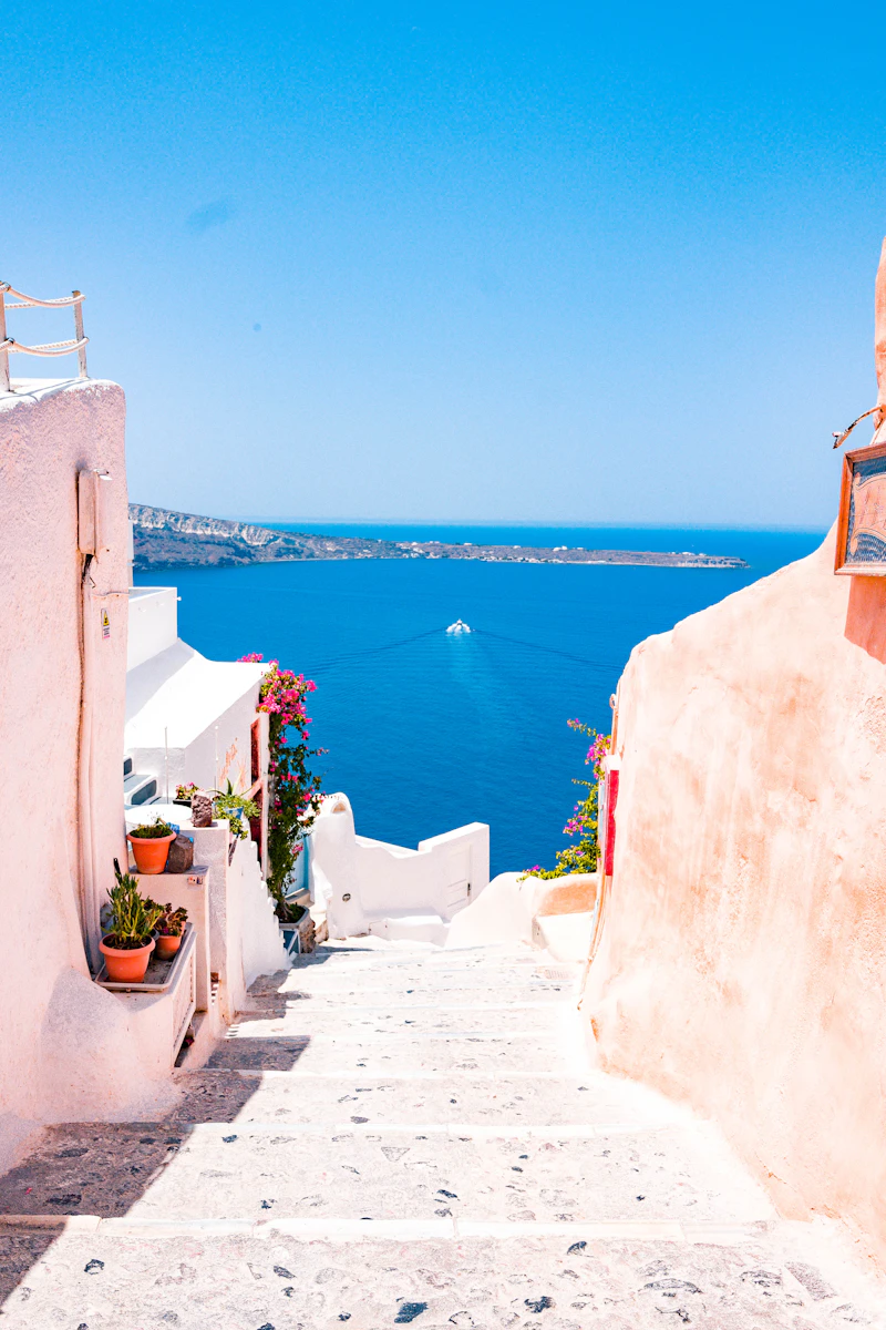
 Santorini36.4°NSantorini's caldera rim sits 300 m above the sea on a cliff edge that funnels and accelerates the prevailing Meltemi wind, especially through July and August afternoons — the same wind that keeps the island's famous whitewashed towns cool can turn a calm morning flight into a gusty one by midday. Check wind and gusts here before a sunset flight over Oia or Fira, not just the forecast for the island generally.
 Mykonos37.4°NMykonos is one of the windiest islands in the Cyclades — the Meltemi blows through the Aegean in short, sustained bursts most of the summer, and the island's low, exposed terrain does little to break it up. Wind speed and gusts are the metric to watch here far more than cloud cover or precipitation, which are rarely the limiting factor.
 Athens38.0°NAthens sits in a basin ringed by mountains (Hymettus, Penteli, Parnitha), which traps summer heat and haze over the city — air quality and visibility are worth checking alongside wind here, not just the usual flight-safety basics. Coastal areas south of the city catch a steadier sea breeze than the sheltered city center.
Italy
 Amalfi Coast40.6°NThe Amalfi Coast's cliffs drop almost straight into the Tyrrhenian Sea, and that terrain creates strong, localized thermal and onshore-wind effects that a regional forecast can miss — conditions at Positano's cliffside can differ noticeably from Amalfi town a few kilometers along the same coast road. Narrow valleys between towns can also funnel wind unpredictably.
 Dolomites46.5°NThe Dolomites' jagged limestone peaks (this page centers on Cortina d'Ampezzo) generate their own mountain weather — valley fog that burns off by mid-morning, afternoon thunderstorm buildup in summer, and wind that behaves very differently at ridge height than in the valley floor. Wind at altitude is worth checking here specifically, not just the 10 m reading.Sicily37.5°NSicily's weather (this page centers on Catania) is shaped by Mount Etna, still one of Europe's most active volcanoes — ash advisories occasionally affect visibility and air quality regionally, on top of the normal Mediterranean summer heat and the occasional sirocco wind blowing north from the Sahara.
France
 Paris48.9°NParis has some of the strictest urban drone airspace in Europe — most of the city center sits inside permanently restricted airspace regardless of weather. Where flying is legal at all, the Seine valley's flat, open terrain means wind and visibility forecasts here are usually representative of the wider Île-de-France region, not just one neighborhood.
 Provence43.9°NProvence (this page centers on Avignon) is defined by the Mistral — a strong, dry, northerly wind that can sustain 50+ km/h for days at a time, funneled down the Rhône valley. It's one of the more genuinely wind-limited regions on this list; checking gusts here before a lavender-field or hilltop-village flight matters more than almost anywhere else in France.
 Chamonix45.9°NChamonix sits in a narrow alpine valley directly beneath Mont Blanc, and that terrain drives strong katabatic (downslope) winds as cold air drains off the glaciers, particularly in the evening. Wind by altitude is genuinely useful here, since conditions at valley floor and near the ridgelines can be very different flights.
Spain
 Barcelona41.4°NBarcelona sits between the Mediterranean and the Collserola hills, which gives it a fairly reliable daily sea-breeze cycle — generally calmer mornings, breezier afternoons as the land heats up. Coastal humidity and haze can also affect visibility more than inland Catalonia.Mallorca39.6°NMallorca (this page centers on Palma) has genuinely varied terrain for one island — the flat central plain, the Serra de Tramuntana mountains along the northwest coast, and open Mediterranean coastline all behave differently in the same weather system. A forecast for Palma won't necessarily match conditions over the Tramuntana ridgeline.

Asia

Japan
 Tokyo35.7°NTokyo's weather runs on a clear seasonal cycle: a humid rainy season (tsuyu) in June–July, hot and often storm-prone summers, and typhoon risk that peaks August through October — precipitation and wind gust forecasts matter most during that window. Dense high-rise areas also create real localized wind-funneling between buildings that a citywide forecast can't capture.
 Mount Fuji35.4°NMount Fuji is tall and isolated enough to generate its own weather — the summit is frequently in cloud even when the surrounding Fuji Five Lakes area is clear, and wind speed increases sharply with altitude on its slopes. The clearest views (and most stable flying conditions) are typically in winter and early spring mornings, before daytime convective cloud builds up around the peak.
Thailand
 Phuket7.9°NPhuket sits on Thailand's Andaman coast, where the southwest monsoon (roughly May–October) brings the wettest, windiest, roughest-sea conditions of the year, while November–April is calmer and generally the better window for coastal flights. Afternoon sea breezes are a near-daily feature regardless of season.
 Chiang Mai18.8°NChiang Mai sits in a mountain valley in northern Thailand, and its dry season (roughly November–April) coincides with a well-known seasonal smoke-haze/air-quality problem from regional agricultural burning — worth checking the air quality reading here specifically, not just visibility, since haze can look clear to the eye while still degrading image quality.
China
Guilin25.3°NGuilin's karst limestone peaks along the Li River create a landscape of hills and river fog that's genuinely photogenic at sunrise — but that same river-valley humidity means low cloud and mist are common in early morning, generally clearing by mid-to-late morning. Spring and early summer bring the region's main rainy season.Zhangjiajie29.1°NZhangjiajie's sandstone pillar formations (the inspiration for Avatar's floating mountains) sit in a national forest park where cloud and mist regularly sit at pillar height itself, not just above it — visibility here can vary dramatically within the same day as fog banks move through the gorges between peaks.South Korea
 Seoul37.6°NSeoul has four distinct seasons — a humid, rainy monsoon (jangma) in July, and cold, dry winters bringing periodic air-quality drops from regional particulate pollution, which is worth checking alongside the usual wind/visibility basics, especially in winter and spring.Jeju Island33.5°NJeju Island, built around the shield volcano Hallasan, is known within South Korea as one of its windier regions — its exposed position in the Korea Strait means coastal wind is a bigger factor here than on the mainland, particularly in winter when strong northwesterly winds are common.
North America
United States
 Moab38.6°NMoab sits amid the red-rock canyon country of southeast Utah, surrounded by BLM land, Arches, and Canyonlands — a genuine favorite for drone photography, with strong afternoon thermal winds off the exposed slickrock a bigger factor than rain most of the year. Spring and fall generally offer the calmest, most consistent conditions; summer afternoons can build convective storms fast.
 Lake Tahoe38.9°NLake Tahoe sits at 1,900 m in the Sierra Nevada, and that altitude means genuine mountain weather even in summer — afternoon thunderstorm buildup is common, and winter brings heavy snow with correspondingly higher wind and cold-related flight-safety considerations than the lake's summer postcard image suggests.
 Maui20.9°NMaui's volcanic terrain (Haleakalā rises over 3,000 m from sea level within a short distance) creates dramatically different microclimates around the island — the windward north/east coast is far wetter and windier than the leeward west/south coast in the SAME weather system, so checking the specific side of the island matters more than a single island-wide forecast.
Canada
 Banff51.2°NBanff sits in the Canadian Rockies, where chinook winds — warm, dry downslope winds that can raise temperatures dramatically within hours, mostly in winter — are a genuinely distinctive local weather feature. Mountain-valley terrain also means wind and cloud can vary sharply between the valley floor and nearby ridgelines.
 Vancouver49.3°NVancouver's Pacific coastal climate means mild temperatures year-round but a genuinely wet fall/winter (October–March), with the North Shore mountains squeezing extra rainfall out of incoming systems. Summers are comparatively dry and are generally the more reliable flying season here.
Mexico
 Mexico City19.4°NMexico City sits at over 2,200 m altitude in a mountain-ringed basin, which traps pollution and can affect both air quality and drone performance (thinner air reduces lift and battery efficiency versus sea level) — worth factoring in alongside the usual wind/visibility checks, especially during the dry-season haze months (roughly December–May).Tulum20.2°NTulum sits on the Yucatán's Caribbean coast, inside the Atlantic hurricane belt — the June–November hurricane season is the dominant seasonal risk to track here, while the drier winter months generally bring calmer, more consistent coastal conditions for flights over the cenotes and coastline.
Africa
Morocco
 Marrakech31.6°NMarrakech sits at the edge of the Atlas Mountains and the pre-Sahara plain, which gives it real seasonal extremes — hot, dry, generally calm summers, and an occasional chergui (a hot, dust-laden wind off the desert) that can drop visibility sharply with little warning.
 Agadir30.4°NAgadir's Atlantic coastline gives it a milder, more consistent climate than inland Morocco — a steady onshore breeze most afternoons, less extreme heat than Marrakech, and generally reliable visibility year-round, making wind rather than heat or haze the main thing to check before flying.
Oceania
Australia
 Sydney33.9°SSydney's coastline runs north-south along the Tasman Sea, and the city gets a fairly reliable afternoon sea breeze most of the year, generally strongest in summer. Southerly buster wind changes — a sharp, fast-moving cold front — can also bring an abrupt jump in wind speed with very little warning on an otherwise calm day.
 Melbourne37.8°SMelbourne is famous within Australia for weather that changes fast — "four seasons in one day" is a real local saying, driven by its exposure to shifting winds off Bass Strait. Checking a fresh forecast right before flying matters more here than trusting a morning check for an afternoon flight.Gold Coast28.0°SThe Gold Coast's long, open beaches face directly into the Pacific, giving it a steady onshore wind most afternoons and a genuine cyclone season (roughly November–April) that's worth tracking during summer, even when a given day's local forecast looks fine.
New Zealand
Queenstown45.0°SQueenstown sits in a mountain basin on Lake Wakatipu, in the lee of New Zealand's Southern Alps — that combination produces the classic alpine pattern of wide swings between calm, clear mornings and windier, cloudier afternoons as mountain thermals develop. Wind by altitude is genuinely worth checking here for any flight near the surrounding ridgelines. Auckland36.8°SAuckland sits on an isthmus between two harbours and is one of the windier major cities in the world for its size — its maritime, subtropical climate also means rain can move through quickly and unpredictably, so a same-day check is more useful here than a multi-day outlook.
Middle East
United Arab Emirates
 Dubai25.2°NDubai has some of the strictest drone regulation in the world — flying without prior authorization from the GCAA/Dubai Police is a serious offense here, more so than almost anywhere else on this list, so checking local permit requirements matters at least as much as the weather itself. Meteorologically, summer heat (regularly 40°C+) and occasional shamal dust storms reducing visibility are the main things to watch.Abu Dhabi24.5°NAbu Dhabi shares the UAE's strict drone-authorization requirements with Dubai — worth confirming permissions before planning any flight here. Its desert climate brings extreme summer heat and periodic shamal-driven dust/sand haze that can reduce visibility well below what a clear-sky forecast implies.
Türkiye
Cappadocia38.6°NCappadocia (this page centers on Göreme) is famous for sunrise hot-air balloon flights over its fairy-chimney rock formations — a strong signal that mornings here are usually the calmest, most flyable part of the day, before thermal winds pick up as the high desert plateau heats through the afternoon. Istanbul41.0°NIstanbul straddles the Bosphorus strait between two seas, and that geography drives locally strong, channeled winds along the waterway itself — conditions right over the strait can run noticeably windier than a few kilometers inland on either side, even within the same weather system.