DJIenterprise1050g Takeoff Weight
DJI Mavic 3 Enterprise 抗风等级与天气限制
DJI Mavic 3 Enterprise 的厂商标称最大风速为 12 m/s(43.2 km/h、26.8 mph、蒲福风级 6 级)。这就是它的抗风上限,在不超过该风速的风中可以飞行。为留出安全余量,建议持续风速保持在约 30 km/h 以下,阵风也不要超过额定值。
DJI DJI Mavic 3 Enterprise 的空气动力学性能、抗风容限及低温操作极限。
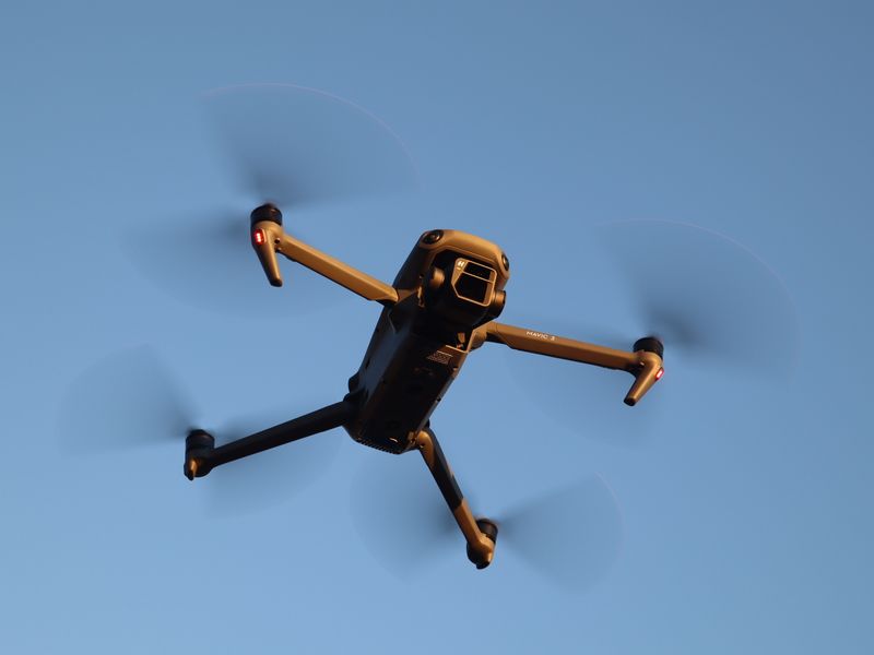 示意图片,可能并非 DJI Mavic 3 Enterprise。 Photo: Pexels
快速解答与气象总结
DJI Mavic 3 Enterprise(3E/3T)抗风能力为 12.0 m/s(43.2 km/h / 26.8 mph / 蒲福风级 6 级),凭借机械快门可在高速飞行中完成测绘,工作温度为 -10°C 至 40°C(14°F 至 104°F)。它没有 IP 等级。
DJI Mavic 3 Enterprise 实时适飞评估
查看7天飞行窗口 →适飞(各项指标在安全范围内)
New York (40.71°, -74.01°)
气象与飞行极限技术规格表
最大抗风等级
12.0 m/s
12 m/s • 43.2 km/h • 26.8 mph • 蒲福风级 6 级
工作环境温度
-10°C 至 40°C
-10°C 至 40°C (14°F 至 104°F)
防雨与防水等级
无防护(IP00)
无防水保护(仅限干燥天气)
最大起飞海拔
6,000 米
海拔 19,685 英尺
电池规格与续航
5000 mAh
LiPo 4S (15.4V) • 最长 45 分钟
起飞重量与类别
1050 克
250 克 – 2 千克
DJI Mavic 3 Enterprise 空气动力学与抗风特性
Mavic 3 Enterprise 系列(M3E / M3T)专为商业测绘、勘测和热成像巡检设计,支持 RTK 模块和机械快门。它具备 6 级抗风能力和 45 分钟续航,即使在多风的野外环境下也能完成精确的航空摄影测量。
低温飞行与电池化学特性
冬季进行企业作业时,应在执行任务前使用 100W 电池充电管家为电池加温。DJI Pilot 2 应用可实时提供电池电芯遥测数据。
强风与高空垂直风切变应对指南
在风速超过 8 m/s 的情况下测绘时,请让测线方向与风向垂直或平行,以减小偏流角并保持一致的地面采样距离(GSD)。
关于 DJI Mavic 3 Enterprise 的常见问题
答案依据 DJI 公布的规格以及 UAV Meteo 的天气限值。
与 DJI Mavic 3 Enterprise 相近的无人机
DJI Mavic 3 Enterprise 飞行气象工具
飞行窗口预测
查看专为 DJI Mavic 3 Enterprise 定制的7天适飞时间段。
气象图表与高空探测
分析24小时气象图、垂直风切变剖面及太阳高度角。
无人机抗风计算器
将今天的风速和阵风与 43.2 km/h 的额定值进行比较。
预报可信度
查看 ECMWF、GFS 和 ICON 模式对你飞行时段风速的一致程度。
无人机结冰风险计算器
评估桨叶结冰与露点凝结风险。
规格数据取自 DJI 为 DJI Mavic 3 Enterprise 公布的产品信息。实际飞行表现还取决于地形、湍流、电池状态和操作。请始终遵守当地航空法规。